
Projects : Ocean Acidification
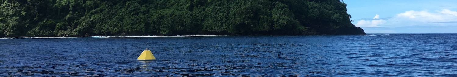
Fagatele Bay MAPCO2 Buoy
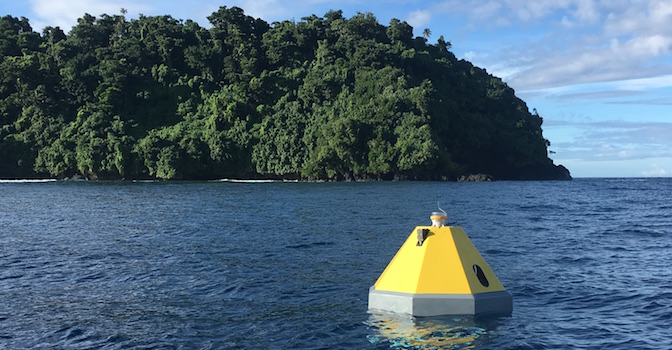
The Fagatele Bay MAPCO2 Buoy, managed by PacIOOS and NOAA PMEL, is located in Fagatele Bay along the southwestern point of Tutuila Island in American Samoa within the National Marine Sanctuary of American Samoa. In addition to providing surface ocean and atmospheric carbon dioxide (CO2) measurements, as plotted below, mapco2_fagatele also measures salinity, temperature, chlorophyll, turbidity, and dissolved oxygen. These other variables can be viewed on the PacIOOS Water Quality Buoy Observations page.
The entire CO2 time series for mapco2_fagatele is shown below. For closer inspection of the dataset, simply slide the striped black markers on the bottom right and left of the graph to narrow the time range. The CO2 for the air and sea water are in molar fractions (µmol/mol), meaning it is the molar amount that CO2 accounts for out of the total substance. To view all buoys simultaneously, click here to open PacIOOS Voyager.
Fagatele Bay MAPCO2 Buoy: xCO2 of Sea Water and xCO2 of Air in µmol/mol
Latest Data for Fagatele Bay MAPCO2 Buoy
| Date and Time (UTC) | xCO2 of Sea Water (µmol/mol) | xCO2 of Air (µmol/mol) | Sea Surface Salinity (PSU) | Sea Surface Temp. (°C) | pH of Sea Water |
|---|---|---|---|---|---|
NOTE: These data have not been post-calibrated or quality controlled. For scientific usage, please access the delayed-mode, quality-controlled data at https://www.nodc.noaa.gov/ocads/oceans/time_series_moorings.html.


