

Citizen Scientists Model Validation in West Maui
Citizen Scientists Model Validation in West Maui
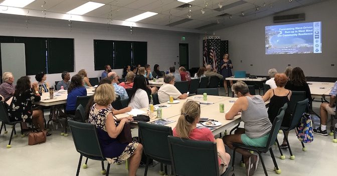
Posted May 30, 2019PacIOOS, in conjunction with the Hawaiʻi Sea Grant King Tides Project, conducted two workshops on Maui (in Lahaina and Kīheī) to mobilize citizen scientists to participate in photo documentation surveys.
PacIOOS is developing a six-day, high resolution wave run-up forecast for the shorelines of West Maui through a NOAA Coastal Resilience Grant. In order to determine thresholds and levels of impact, community members are asked to take photos around peak tides or swells, or whenever waves overtop beach features.
If you are interested to participate, please visit pacioos.org/wm to submit your photos.

To view all photo submissions, check out the interactive map viewer at pacioos.org/wmm.

Download the flyer for a summary on how to participate.


