

Data Access
PacIOOS supports a variety of data servers to provide easy and interoperable access to our data holdings, including ERDDAP, THREDDS, and GeoServer.
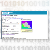
ERDDAP
Access data in a wide variety of output formats including plain text, HTML, JSON, MATLAB, and NetCDF. Generate basic maps and plots. Simple to use.
THREDDS
Access gridded data via OPeNDAP, NetCDF Subset Service, Web Map Service (WMS), and other data services.
GeoServer
Access GIS layers via Open Geospatial Consortium (OGC) web services (WMS, WFS, WCS). Search and map layers in GeoExplorer data viewer.


