

Water Quality Nearshore Sensor in Maunalua Bay Deployed
Water Quality Nearshore Sensor in Maunalua Bay Deployed
Posted September 27, 2018Mālama Maunalua and PacIOOS jointly deployed a nearshore sensor off Waiʻalae Beach Park, located towards the west side of Maunalua Bay, Oʻahu. The water quality sensor is part of PacIOOS’ Water Quality Sensor Partnership Program (WQSPP). Mālama Maunalua has been awarded to use the nearshore sensor for a period of one year to support ongoing water quality monitoring efforts.
The sensor is located at the stream mouth and stormwater outlet at the beach park, which will provide insights into sediment loads and water input in the nearshore waters. Mālama Maunalua is interested to collect critical water quality parameters to better understand bay-wide inputs from land. This new sensor will complement PacIOOS’ existing sensor located on the eastern side of the bay, in close proximity to the Hawaiʻi Kai Marina entrance.

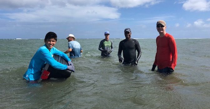
Shaun Wriston, student assistant with the PacIOOS Nearshore Water Quality Group, trains Mālama Maunalua staff and volunteers how to program, deploy, and maintain the water quality sensor.
The deployed instrument, a Sea Bird Electronics 16plus V2 water quality sensor, remotely and accurately measures temperature, salinity/conductivity, pressure/depth, turbidity, and chlorophyll at 4-minute sample intervals. PacIOOS trained Mālama Maunalua staff and volunteers before and during the deployment, and provided hands-on training for the maintenance of the sensor. The partnership promotes technical capacity building and empowers local community groups to collect robust environmental data to inform research, conservation, planning, and resource management projects. While this sensor does not report in real-time, collected data will be downloaded periodically and made available through PacIOOS’ data services.

Sea Bird Electronics 16plus V2 water quality sensor before its deployment off Waiʻalae Beach Park.
Mālama Maunalua (which means “to care for Maunalua,” referring to the bay) is a community-based, non-profit stewardship organization whose mission is to conserve and restore Maunalua Bay by informing, engaging and empowering community, and by forming strong partnerships with government, NGOs, and academic institutions. Plans are underway to launch a Citizen Science Monitoring Protocol to collect nearshore water quality samples at key locations across the bay (e.g., stream mouths). Data from the nearshore sensors on the east and west end of the bay, will provide valuable data to complement this effort.
Visit Mālama Maunalua’s website to learn more about ongoing efforts and how you can get involved.
Photo Credit: Pam Weiant, Mālama Maunalua.


