ONLINE MAPPING
PacIOOS Voyager
PacIOOS Voyager is a free, interactive, online mapping experience. Explore observations, forecasts, and historical ocean data from the Pacific Islands region. View, combine, save, and download your choices.
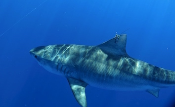
SHARK TRACKING
Tiger Shark Tracking
Check out recent tracks of Hawaiʻi tiger sharks who were fitted with the latest generation of satellite tags. Researchers gain valuable insights about shark behavior and habitat selection, and test new technologies.

FEATURED ITEM
Am. Samoa Sea Level Rise
Explore the interactive American Samoa Sea Level Rise Viewer! This interactive mapping tool provides predictions of coastal inundation depths due to land subsidence and various sea level rise scenarios.
LATEST WAVE BUOY OBSERVATIONS
ONLINE MAPPING
PacIOOS Voyager
PacIOOS Voyager is a free, interactive, online mapping experience. Explore observations, forecasts, and historical ocean data from the Pacific Islands region. View, combine, save, and download your choices.
SHARK TRACKING
Tiger Shark Tracking
Check out recent tracks of Hawaiʻi tiger sharks who were fitted with the latest generation of satellite tags. Researchers gain valuable insights about shark behavior and habitat selection, and test new technologies.
FEATURED ITEM
Am. Samoa Sea Level Rise
Explore the interactive American Samoa Sea Level Rise Viewer! This interactive mapping tool provides predictions of coastal inundation depths due to land subsidence and various sea level rise scenarios.
Latest News
-
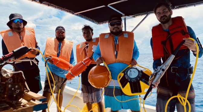
Backyard Buoys in the Pacific Islands
Above: Majuro buoy deployment team. Left to right:...
-
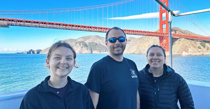
My First Time at Sea With the Ocean Discovery League Team Aboard NOAA Ship Okeanos Explorer
Above: Ocean Discovery League (ODL) Team onboard NOAA...
-
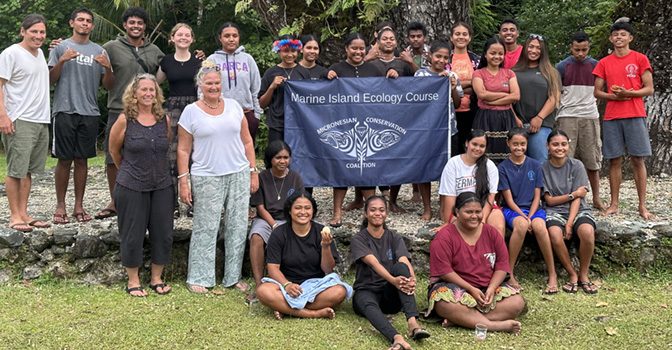
Yap Marine Island Ecology Course
Above: Marine Island Ecology Course (MIEC) class of...
-