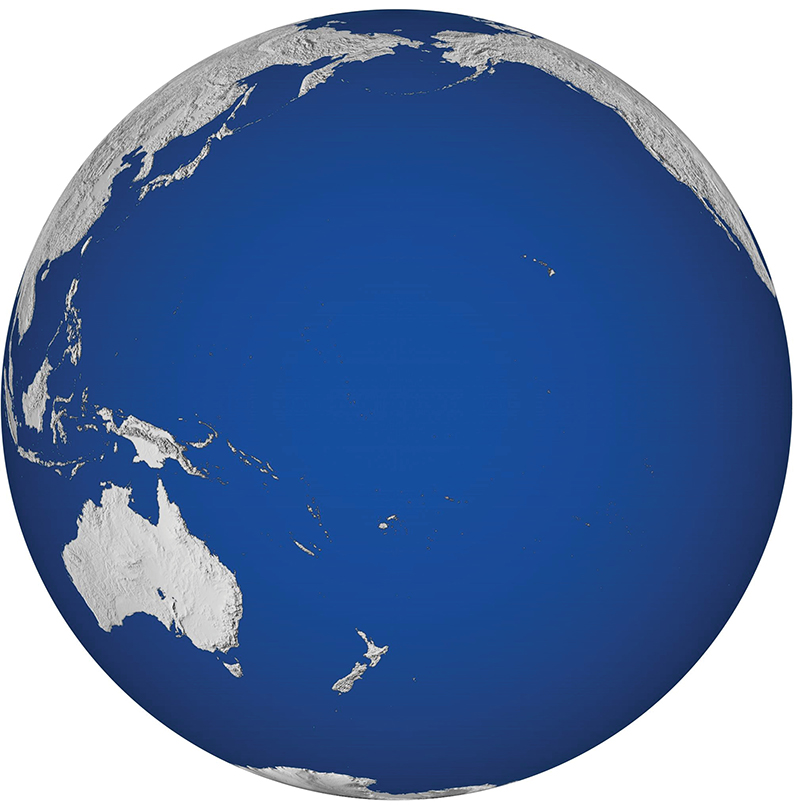
- Regions
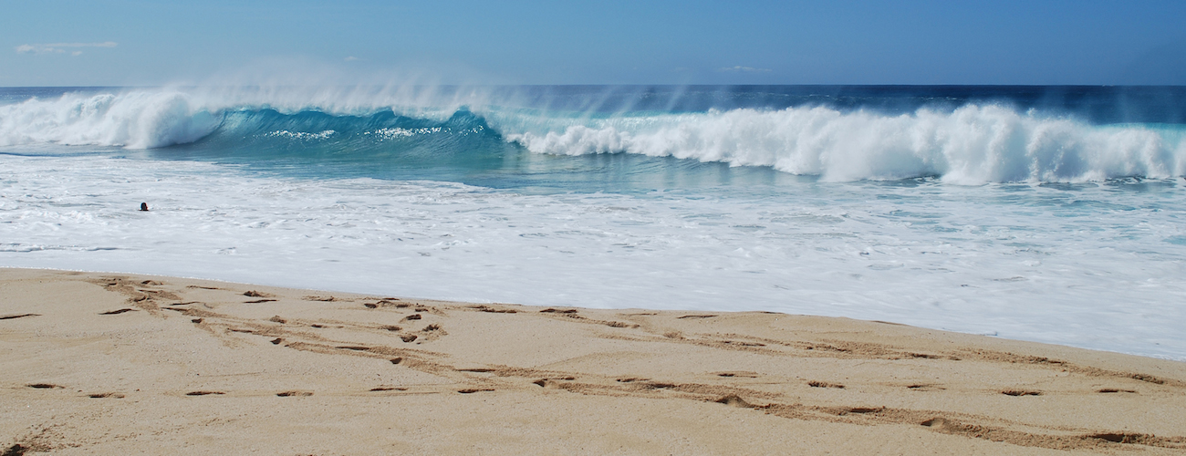
- Waves
- Wave Observations
- Hanalei, Kauaʻi
- Waimea Bay, Oʻahu
- Kāneʻohe Bay, Oʻahu
- Kāneʻohe WETS, Oʻahu
- Mōkapu, Oʻahu
- Kalaeloa Barbers Point, Oʻahu
- Pearl Harbor Entrance, Oʻahu
- Pauwela, Maui
- Lānaʻi Southwest
- Hilo, Hawaiʻi Island
- Majuro, RMI
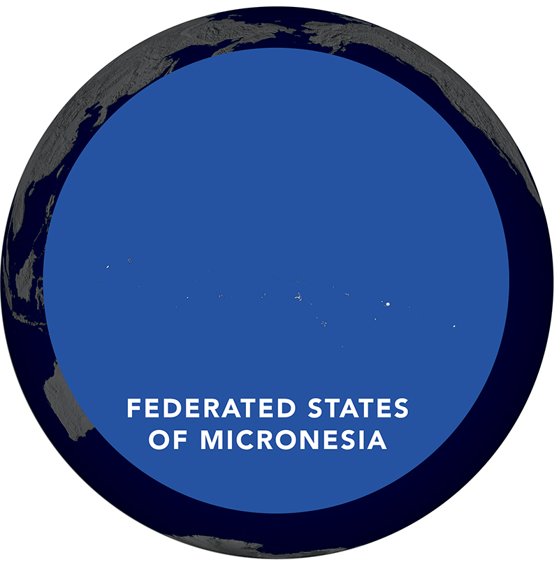
- Rumung, Yap, FSM
- North Point, Pohnpei, FSM
- Utwe, Kosrae, FSM
- Ritidian Point, Guam
- Ipan, Guam
- Tanapag, CNMI
- Ngaraard, Babeldaob, Palau
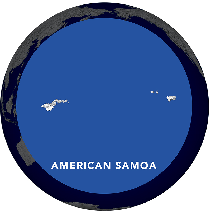
- King-Poloa, Tutuila, American Samoa
- Aunuʻu, American Samoa
- Archive : Barbers Point, Oʻahu
- Archive : Kaumalapau, Lānaʻi
- Wave Forecast
- Wave Observations
- Currents
- Shoreline Impacts
- Water Characteristics
- Weather
- Projects
- Hawaiʻi Tiger Shark Tracking
- Estimated Coral Cover in Hawaiʻi
- Ocean Acidification
- Ocean Tipping Points: Hawaiʻi Case Study
- American Samoa Coral Reef Drivers
- Coral Reef Resilience in Guam & A. Samoa
- Hawaiian Koʻa (Coral) Card
- Habitat Blueprint: West Hawaiʻi Focus Area
- Hawai’i Coral Bleaching Collaborative
- Māmala Bay Water Quality Study
- Hawaiʻi Radioactivity after Fukushima
- Liquid Robotics: Wave Gliders
- Voyager (Mobile Version)
- Data Services
- Education Resources
- News
- About PacIOOS