

HYCOM Replaces NCOM Global Ocean Forecast
HYCOM Replaces NCOM Global Ocean Forecast
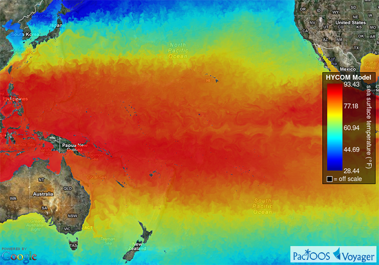
Posted April 24, 2013On April 5, 2013 the U.S. Naval Research Laboratory (NRL) stopped generating output for its Navy Coastal Ocean Model (NCOM). Since NCOM is retired, we have replaced Voyager’s global ocean forecast with the HYbrid Coordinate Ocean Model (HYCOM). HYCOM is produced by the HYCOM Consortium. The version of HYCOM employed in Voyager assimilates data observations using the U.S. Navy Coupled Ocean Data Assimilation (NCODA). HYCOM has a higher spatial resolution of 1/12° (~9 km) compared to just 1/8° (~15 km) in NCOM. Also, we provide HYCOM forecasts at 10 discrete depth intervals from the ocean surface down to 200 meters, whereas with NCOM we only distributed the surface layer.
To implement this update, HYCOM now replaces NCOM in several PacIOOS data servers, including THREDDS Data Server (TDS) (from which Voyager’s HYCOM map overlays and time series plots are dynamically generated), Live Access Server (LAS), and ERDDAP. Through these data servers, interoperable data access is provided via OPeNDAP, Web Map Service (WMS), Web Coverage Service (WCS), NetCDF Subset Service (NCSS), and other services. Formal metadata can be found here. These data are remotely accessed and aggregated from the University of Hawaiʻi Asia-Pacific Data-Research Center (APDRC): click here for further information.


