

Category Archives: PacIOOS Updates
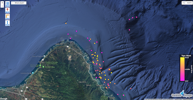
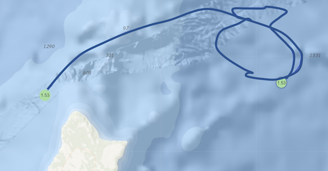
Follow Me: New Tiger Shark Tracks Available
Posted October 23, 2018PacIOOS now provides tracks from four new tiger sharks that were recently equipped with satellite tags off Kāneʻohe Bay by researchers from the Hawaiʻi Institute of Marine Biology (HIMB)....
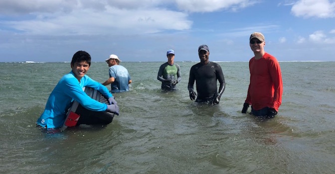
Water Quality Nearshore Sensor in Maunalua Bay Deployed
Posted September 27, 2018Mālama Maunalua and PacIOOS jointly deployed a nearshore sensor off Waiʻalae Beach Park, located towards the west side of Maunalua Bay, Oʻahu. The water quality sensor is part of...
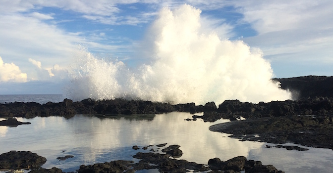
Storm Season in the Pacific
Posted September 20, 2018It has been a turbulent season for the Pacific Islands region. This month, Typhoon Mangkhut approached the Northern Mariana Islands and Guam as a category 2-equivalent with one-minute sustained...
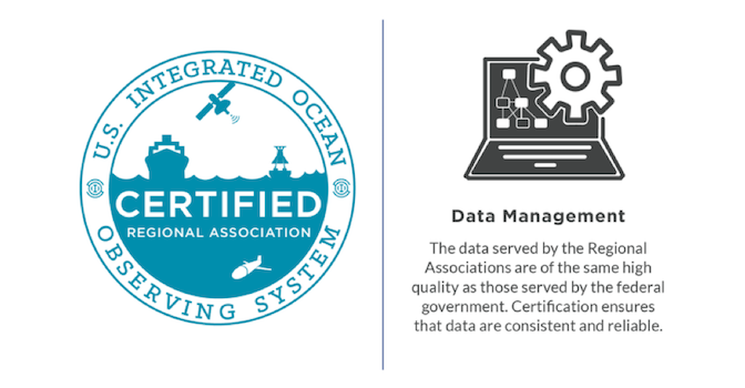
All IOOS Regional Networks Now NOAA-certified
Posted August 29, 2018The U.S. Integrated Ocean Observing System (IOOS) along with its eleven regional associations (RAs) reached an important milestone this month: All regional observing systems are now certified by NOAA...
Continued Funding for PacIOOS
Posted July 28, 2018PacIOOS received $2.65 million in competitive grant funding in its third year of a five-year cooperative agreement with the U.S. Integrated Ocean Observing System (IOOS). PacIOOS will build on...
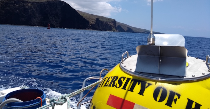
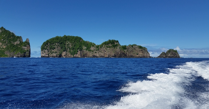
Lānaʻi Southwest Wave Buoy Now Online
Posted June 25, 2018PacIOOS deployed a new wave buoy Southwest of Lānaʻi in mid-June. Real-time information on wave height, period, and direction, as well as sea surface temperature are freely accessible online...
PacIOOS Receives Grant to Enhance Atmospheric and Wave Forecasts in Pacific Island Territories
Posted June 12, 2018The Department of the Interior Office of Insular Affairs’ Technical Assistance Program awarded PacIOOS with nearly $500K in grant funding to help enhance public safety through improved atmospheric and...
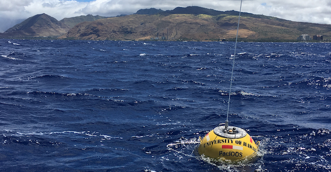
New PacIOOS Wave Buoy off Kalaeloa Barbers Point, O‘ahu
Posted May 31, 2018PacIOOS deployed a new wave buoy off Kalaeloa Barbers Point on May 31, 2018. The buoy is located approximately 1.5 miles to the west of Kalaeloa Harbor on Oʻahu’s...
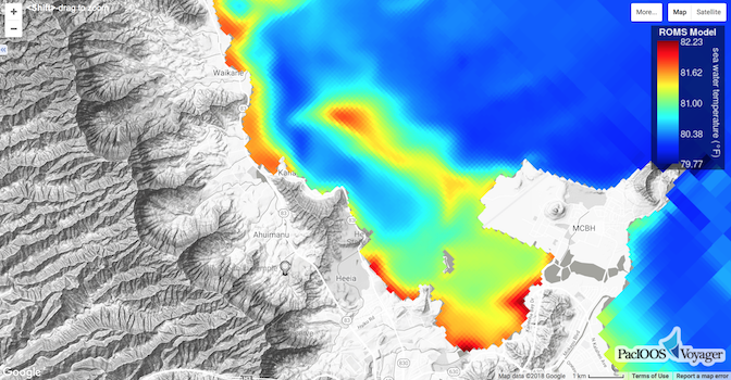
New Ocean Circulation Forecast for Kāneʻohe
Posted May 21, 2018PacIOOS’ Regional Ocean Modeling System (ROMS) now provides a new high-resolution grid for Kāneʻohe (approximately 100-m resolution) and the surrounding area along Oʻahu’s windward shore (1.5-km resolution). The model...
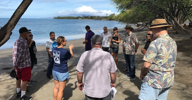
2018 Executive Committee Meeting on Maui
Posted April 27, 2018The PacIOOS Executive Committee, a subset of the Governing Council, met on Maui for its annual meeting. On the first day, meeting participants discussed IOOS and PacIOOS programmatic updates,...


