

Nautical Chart Auto-Selection Utility
Nautical Chart Auto-Selection Utility
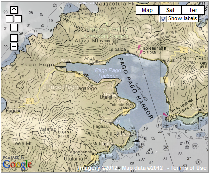
Posted June 20, 2013NOAA Raster Navigational Charts (RNCs), commonly referred to as nautical charts, are displayed and kept current within Voyager via the Nautical Charts API developed by Paul Reuter of CORDC/Scripps/UCSD. Voyager now leverages additional methods within this API to allow a nautical chart to be automatically selected based on the current map view. While the “auto-select” option is checked, Voyager will continue selecting an appropriate nautical chart after panning or zooming the map.
As before, users can also select a specific nautical chart to display rather than rely on this new auto-select utility.
NOAA provides nautical charts for the following PacIOOS regions: Hawaiʻi, American Samoa, CNMI, Guam, and U.S. Minor Outlying Islands. For further information, please visit: http://www.nauticalcharts.noaa.gov/mcd/Raster/


