Nearshore Sensor Observations : Archive : Kephara, Pohnpei, FSM
This site has been decommissioned and is no longer collecting new data.
NOTE: Click on the plot below for data at a specific time.
NOTE: This instrument does not report in real-time. New data are retrieved periodically.
start date: : temperature: wave height: wind: rain: currents: site:
Disclaimer: Near real-time data have not been quality controlled.
Disclaimer: Data are released in compliance with real-time quality control standards.
Disclaimer: Real-time data are provided as raw and unaltered. Results of quality control checks are provided within the data set.
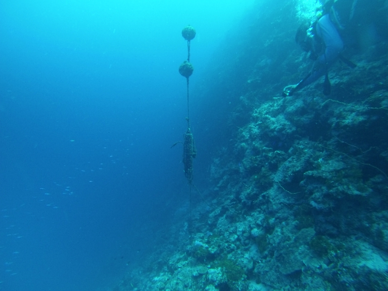
This nearshore sensor (nss_wqspp_002) operated between November 22, 2015 and June 19, 2017. It was located approximately 1 km north of Kephara Island and 75 meters offshore of the barrier reef along the southwest shore of Pohnpei in the Federated States of Micronesia (FSM). The sensor package was mounted to the sea floor at approximately 40 meters depth. Data were recorded hourly.

Instrument site. Credit: Kevin Rhodes.
The PacIOOS Water Quality Sensor Partnership Program (WQSPP) supports scientists and natural resource managers to collect water quality data in order to inform research, conservation, planning, and resource management projects in the U.S. Insular Pacific region. Comprised of a network of “roving” water quality nearshore sensors, the WQSPP provides participating partners with sensors, data management, and technical capacity-building to allow for robust data collection.
As part of the WQSPP, Dr. Kevin Rhodes of the Micronesia Islands Nature Alliance (MINA) deployed this PacIOOS nearshore water quality sensor within the Kephara Marine Sanctuary near Kephara Island and Black Coral Island to examine environmental parameters in association with grouper (Epinephelidae) spawning aggregations. Water temperature measurements collected by the sensor also served to monitor and reveal triggers for coral bleaching events. Owned and maintained by PacIOOS under the supervision of Dr. Margaret McManus and lab.


