Monthly Archives: February 2018

Voyager screenshot of tiger shark distribution map compiled from multiple tagged tiger sharks over multiple years.

Voyager layer updates and improvements
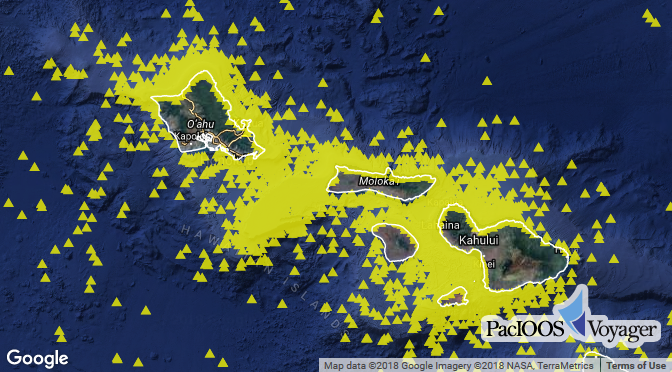
Posted February 01, 2018

PacIOOS recently implemented performance improvements and other updates across several data layers served through PacIOOS Voyager. NOAA’s shallow-water benthic habitat maps (seafloor benthic habitats) as well as marine species...

Read More >

Did you know?

PacIOOS is the first regional association that was certified as a Regional Information Coordination Entity (RICE) by the U.S. Integrated Ocean Observing System (IOOS). Certification provides NOAA and its interagency partners a means to verify that a regional association’s organizational and operational practices, including data management, meet recognized and established standards set by NOAA.