

Category Archives: Voyager News
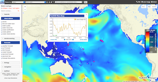
PacIOOS Voyager Switched Servers
Posted April 06, 2017PacIOOS’ interactive mapping platform, PacIOOS Voyager, migrated to a new server behind the scenes. For quick and easy access, be sure to update your bookmarks to either http://pacioos.org/voyager/ or...
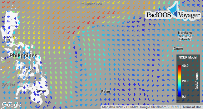
Higher Resolution NCEP GFS Weather Forecast
Posted February 07, 2017In addition to the 0.5° (~50-km) NCEP Global Forecast System (GFS) weather forecast, Voyager now offers a higher resolution Pacific subset of NCEP GFS at 0.25° (~25-km). This numerical...
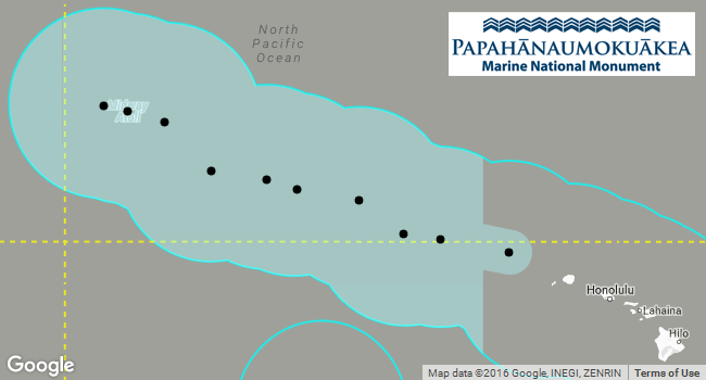
Papahānaumokuākea Expansion
Posted September 26, 2016On August 26, President Obama signed a proclamation expanding the Papahānaumokuākea Marine National Monument from 139,797 mi2 (362,073 km2) to 582,578 mi2 (1,508,870 km2). This extended the monument boundary...
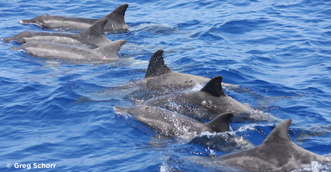
More Dolphin and Whale Tracks in Voyager
Posted September 19, 2016Cascadia Research Collective (CRC) researcher Robin Baird has provided PacIOOS with additional satellite tracking data of tagged Hawaiian dolphins and whales. Spanning 2013-2014 for the islands of Kauaʻi and...
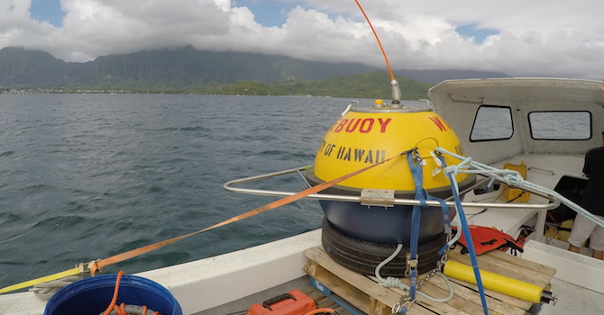
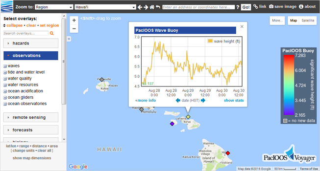
New Kāneʻohe WETS Wave Buoy Deployed
Posted August 31, 2016PacIOOS deployed a second wave buoy in Kāneʻohe Bay, Oʻahu. The buoy was installed as part of Hawaiʻi Natural Energy Institute’s (HNEI) efforts to test in-water wave energy conversion...
Voyager’s New Look & Feel
Posted August 30, 2016In conjunction with the launch of the new PacIOOS website, PacIOOS Voyager has been redesigned to mirror our new look and feel. All functionality remains the same but the...
Oʻahu HFR Surface Currents Extended
Posted October 02, 2015A recent addition to our high-frequency radio (HFR) antenna arrays has extended the spatial coverage of Voyager’s surface currents overlay for Oʻahu beginning September 30th, 2015. This new deployment...
New Bathymetry And Enhancements
Posted September 29, 2015Voyager screenshot of NOAA/NGDC bathymetry (ocean depth) for Tutuila, American Samoa with white 500-ft depth contour, black coastline, and USGS land elevation shaded in green: In addition to the...
New Dolphin and Whale Tracks
Posted July 21, 2015Robin Baird of Cascadia Research Collective (CRC) has provided PacIOOS with new satellite tracking data of tagged Hawaiian dolphins and whales from 2006-2012, including bottlenose dolphins (4 tracks: TtTag002-005),...
Day/Night Indicator
Posted July 16, 2015Voyager now provides an overlay indicating regions where it is currently day and night across the Earth. This can be turned on under Voyager’s “More…” map options in the...


